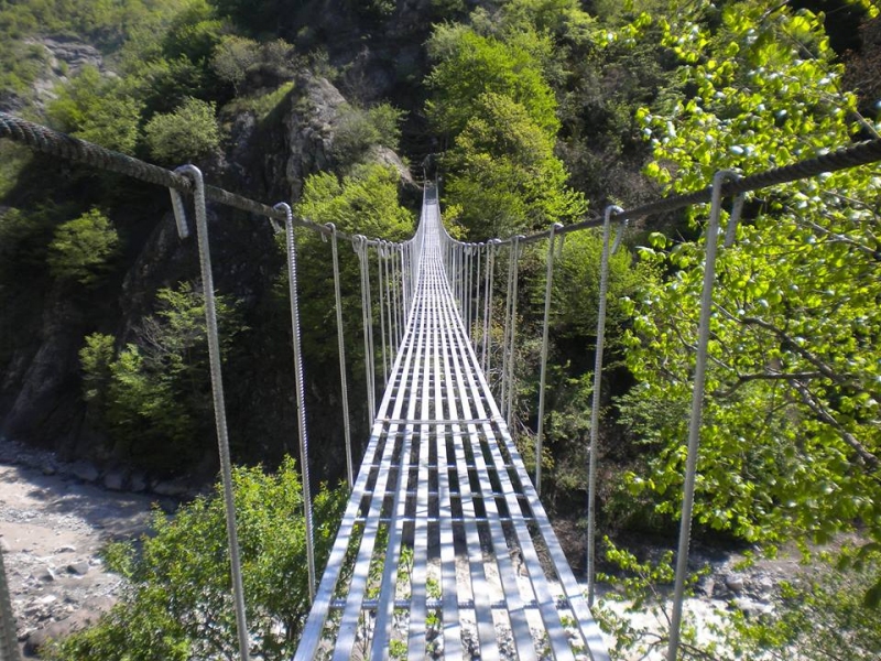
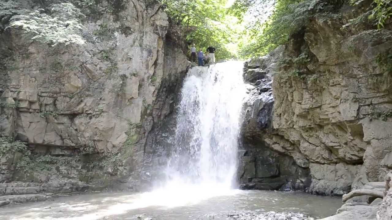
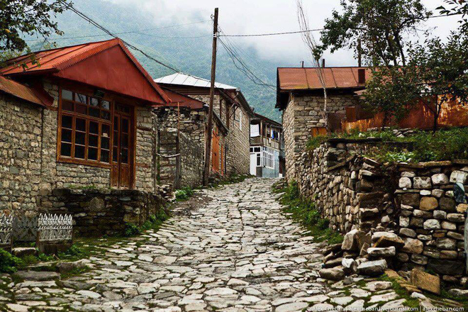
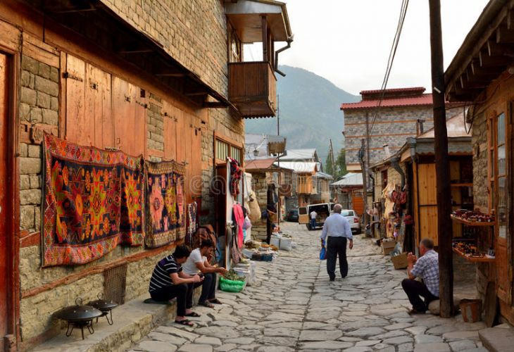
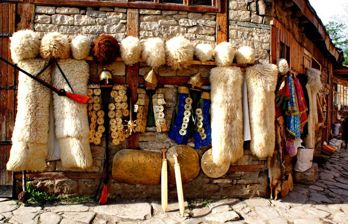
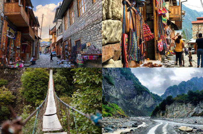
Highlights: Asthma Bridge, Ismailli mountain waterfall, Lahij Museum of History and Local Lore, and etc.
Ismailli (City)
Ismailli district was created with the center in the Ismailli village on November 21, 1931. Before the establishment of the district one of its part was in Goychay province, another one in Shamakhy province and the smallest part within Sheki province.
The district covers an area of 2074 km². It borders Guba in the north, Shamakhy in the east, Aghsu in the southeast, Kurdemir in the south, Goychay in the southwest and Gabala in the west.
Ismailli district includes one city, two settlements and 106 villages. These settlements are controlled by 34 territorial representations and 67 municipalities.
The landscape is mainly composed of mountains. Altitudes hesitate between 200 meters up to 3629 meters (Babadagh) above sea level. The area is passed by the Goychay, Gyrdyman, Akhokh, Ayrichay, Sulut and other rivers, Yekekhana and Ashygbayram artificial ponds.
The district covers 2,158.75 km² with 220.58 km² of winter and 135.55 km² of summer pastures. The lands used in agriculture account for 966.3 km² including 36.263 km² of fertile lands.
Woodlands account for 667.99 km². The district accounts for the State Reserve of Ismayilli. The part of the district was included into the Shahdagh National Park.
Ismailli district has a rich nature. The forests are composed of oak, hornbeam, beech-tree, alder-tree, birch-tree, poplar, pear, spoke and other trees. Such fauna as elk, mountain goat, chamois, deer, roe deer, bear, boar, lynx, fox, wolf, squirrel, coon, pheasant, partridge, eagle, falcon, tetra and others are found in the forests.
 EN
EN
